Image
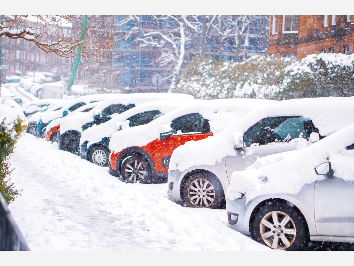
Photo by Ellis Garvey on Unsplash

Photo by Ellis Garvey on Unsplash
WINTER STORM WARNING REMAINS IN EFFECT UNTIL 4 AM EST MONDAY...
* WHAT...Additional ice accumulations up to one tenth of an inch,
mainly across southern Maryland. Conditions improving west of I-95
rapidly this evening, but some light freezing drizzle is still
possible through midnight.
* WHERE...Portions of southern Maryland and central and northern
Virginia.
* WHEN...Until 4 AM EST Monday.
* IMPACTS...Travel could be nearly impossible overnight, and the
Monday morning commute will be very treacherous due to ongoing
cold conditions and lingering sleet and snow packed roadways.
PRECAUTIONARY/PREPAREDNESS ACTIONS...
Persons are urged to stay indoors until conditions improve. If you
must go outside, dress in layers. Several layers of clothes will
keep you warmer than a single heavy coat. Cover exposed skin to
reduce your risk of frostbite or hypothermia. Gloves, a scarf, and a
hat will keep you from losing your body heat.
Persons should consider delaying all travel. Motorists should use
extreme caution if travel is absolutely necessary. (National Weather Service)


Sunny, with a high of 86 and low of 58 degrees. Sunny during the morning, clear overnight.